Bhunaksha J&K: View Jammu & Kashmir Land Maps Online
Introduction to Bhunaksha J&K
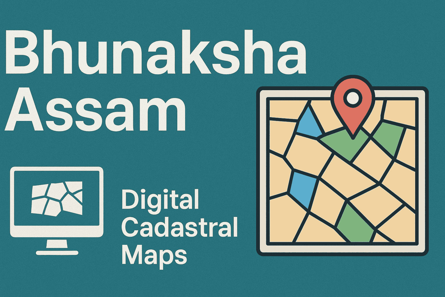
Bhunaksha J&K is a digital mapping service that helps people view official village-level land maps of Jammu and Kashmir online. Through this system, users can visually understand how land parcels are arranged within a village and identify the exact on-ground position of their plot.
Instead of providing ownership details, Bhunaksha focuses on the physical structure of land, such as boundaries, shape, and placement, making it a practical tool for land reference and verification.
What Information Does Bhunaksha J&K Display?
Bhunaksha presents digitally prepared survey maps created by land administration authorities. These maps visually explain how land is divided at the village level.
The maps usually show:
- Separate land parcels within a village
- Clearly drawn plot or khasra boundaries
- Adjacent and nearby land plots
- Overall village land layout
Each plot displayed on the map is directly linked to entries in government land registers.
Why Bhunaksha Matters in Jammu & Kashmir
Land-related disagreements often arise when boundaries are unclear or when old records do not match the actual land position. Bhunaksha helps reduce such confusion by offering a clear visual reference of land parcels.
It is useful because it:
- Makes land boundaries easier to understand
- Helps landowners locate their exact plot
- Supports verification during sale, purchase, or inheritance
- Assists revenue staff during surveys and mutation checks
Bhunaksha works as a map-based support system alongside written land records.
Difference Between Bhunaksha and Jamabandi in J&K
Although both are part of land records, Bhunaksha and Jamabandi serve different purposes.
| Basis | Bhunaksha | Jamabandi |
| Type of record | Map-based | Text-based |
| Main purpose | Shows land location and boundaries | Shows ownership and rights |
| Format | Visual / graphical | Written details |
| Best used for | Identifying land position | Legal ownership confirmation |
➡️ For accurate land verification, checking both together is always recommended.
How to Check Bhunaksha Jammu Kashmir Land Map Online
Step 1: Go to the Official J&K Land Records Portal
Visit the government-maintained land records website.
https://landrecords.jk.gov.in/
This portal provides access to land-related services, including maps and record searches.
Step 2: Select Location Details
Choose the required details:
- District
- Tehsil
- Village
These selections help load the correct village map.
Step 3: Access the Map Section
Look for options such as:
- Land Map
- Village Map
- Map View
Step 4: Locate Your Land Parcel
You can find your land by:
- Entering the khasra number, or
- Selecting the plot directly from the village map
Step 5: Review the Map
The map will display your land parcel along with surrounding plots. Zoom and navigation tools can be used for better visibility.
What You Can Understand from Bhunaksha Maps
By viewing a Bhunaksha map, users can identify:
- How their land is located within the village area.
- The shape and outline of the land
- Nearby and adjoining land parcels
- How the land connects with surrounding plots
For ownership or area confirmation, Jamabandi records should be checked separately.
Who Can Use Bhunaksha J&K?
Bhunaksha is helpful for:
- Farmers checking land boundaries
- Buyers verifying plot location before purchase
- Landowners resolving boundary doubts
- Legal professionals handling land cases
- Revenue officials during surveys
Is Bhunaksha J&K a Legally Accepted Document?
Bhunaksha maps are officially prepared, but they are mainly meant for reference and verification. For court cases or official submissions, certified land documents issued by the revenue office are generally required.
Common Problems While Viewing Bhunaksha J&K
Some users may face issues such as:
- Maps failing to load
- Village data not appearing
- Difficulty identifying the correct plot
How to Resolve These Issues
- Double-check village and tehsil selection
- Match khasra numbers with Jamabandi records
- Contact the local Patwari or Tehsil office if needed
Use of Bhunaksha During Land Mutation
During land mutation (ownership change), Bhunaksha helps authorities:
- Confirm the physical location of land
- Match boundaries with written records
- Prevent incorrect or overlapping claims
This ensures greater accuracy and reliability in the mutation process.
Benefits of Digital Land Maps in J&K
- Improved transparency in land administration
- Reduced reliance on paper records
- Faster land verification for citizens
- Lower chances of boundary-related disputes
Important Points to Remember
- Land maps alone do not prove ownership
- Always verify details using Jamabandi
- Use only official government portals
- Report any mismatch to local revenue authorities
Conclusion
Bhunaksha J&K is an easy-to-use digital platform that enables citizens to view the exact location and shape of their land on a map. When used along with Jamabandi records, it offers a more complete and reliable understanding of land details in Jammu and Kashmir.
For more land record guides and map access, visit Bhulekh India.
Frequently Asked Questions
Bhunaksha J&K helps users view digital land maps that show the location, layout, and boundaries of land parcels within villages.
No. Owner names and ownership details are available only in Jamabandi records.
They are useful for reference, but certified land records are usually required for legal purposes.
Yes, it helps verify land location and boundaries during the mutation process.
Most villages are covered, while remaining areas are being added gradually.
In some districts, printing or saving maps is available, depending on system support.
It helps confirm the plot’s location, boundaries, and surrounding land, reducing the risk of disputes.
Read More Faqs: Bhulekh Jammu & Kashmir Faqs
Read Also:- J&K Land Records Information System: Check J&K Jamabandi Records Online
Explore Categories: