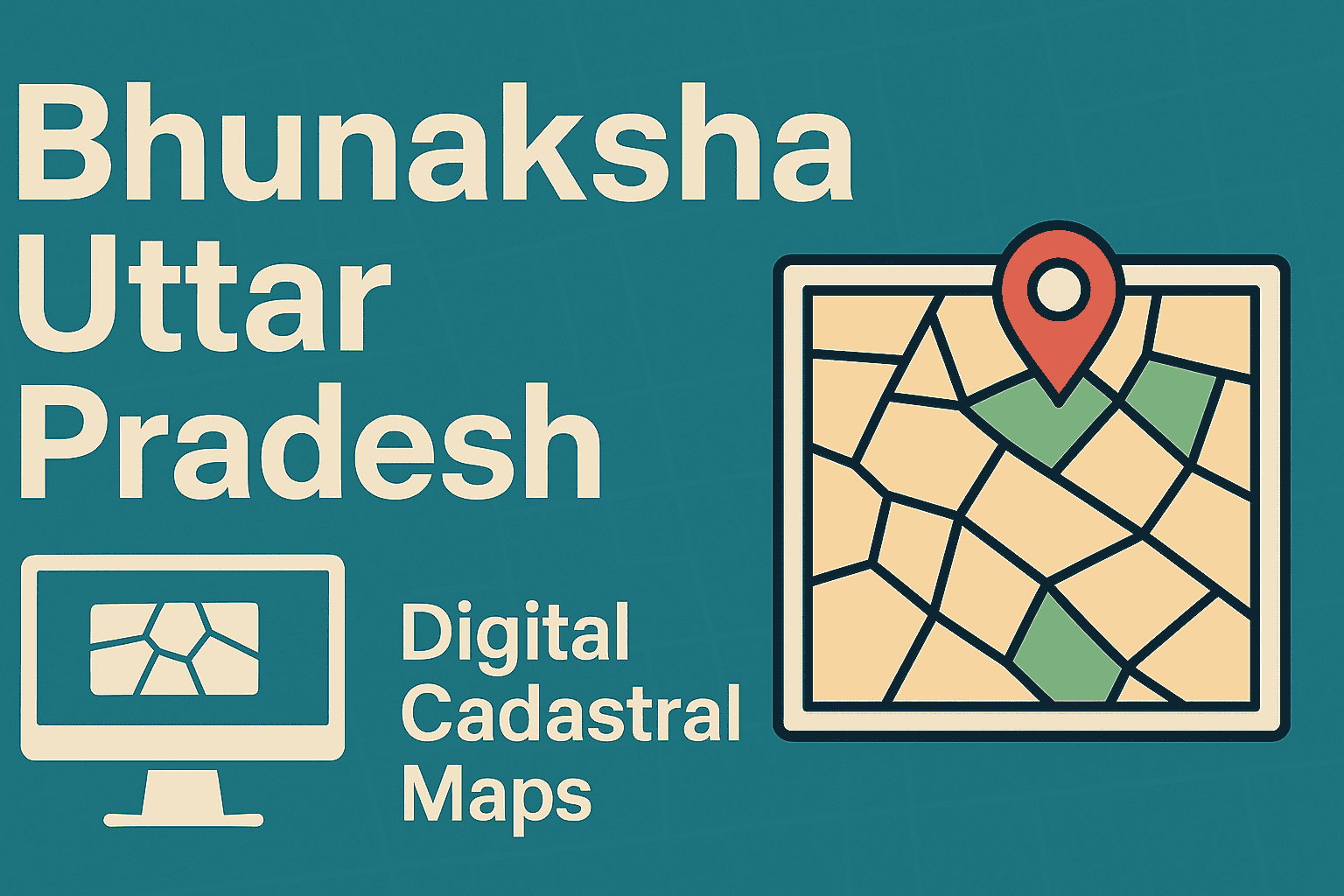
Bhunaksha Lucknow: View, Check & Download Lucknow Land Maps Online
Land boundary clarity is as important as land ownership. In Lucknow district, this need is fulfilled through Bhunaksha Lucknow, the official digital land map system that allows citizens to view plot boundaries, khasra maps, village cadastral maps, and survey layouts online. Bhunaksha Lucknow helps landowners, farmers, property buyers, lawyers, and officials verify where a land parcel is located on the ground, reducing disputes and confusion during land transactions.
This guide explains what Bhunaksha Lucknow is, how it works, how to check land maps online, available map types, legal validity, common problems, and FAQs in simple language.
What Is Bhunaksha Lucknow?
Bhunaksha Lucknow is the digital cadastral mapping system for Lucknow district, Uttar Pradesh.
It displays official land parcel maps prepared by the Revenue Department based on survey records.
In simple terms:
- Bhunaksha = Land Map
- Bhulekh = Land Ownership Record
Both systems work together:
- Bhulekh shows who owns the land
- Bhunaksha shows where the land is and its boundaries
Why Bhunaksha Lucknow Is Important
Lucknow has a mix of:
- Agricultural land
- Abadi (residential) land
- Rapid urban expansion
Clear land maps are essential to avoid disputes.
Uses of Bhunaksha Lucknow
- Verify plot boundaries
- Confirm land location before purchase
- Support mutation and inheritance cases
- Prevent encroachment disputes
- Assist in bank loans and legal verification
- Help in government scheme eligibility
What Information Can You Find on Bhunaksha Lucknow Maps
Bhunaksha Lucknow provides map-based information, not ownership details.
You can view:
- Plot / Khasra boundaries
- Survey and subdivision lines
- Village cadastral layout
- Adjoining land parcels
- Shape and orientation of land
- Tatima (sub-division) maps (where available)
⚠️ Note: Area and owner name must be verified through UP Bhulekh.
Types of Land Maps Available in Bhunaksha Lucknow
1️⃣ Village Cadastral Map
- Shows all plots of a village
- Useful for overall land layout understanding
2️⃣ Khasra / Plot Map
- Displays individual land parcel boundaries
- Used for boundary verification
3️⃣ Tatima Map
- Detailed sub-division map of a plot
- Used during land division, inheritance, or sale
4️⃣ Abadi / Residential Maps (Where Available)
- Shows village residential land layout
- Helpful for abadi land disputes
How to Check Bhunaksha Lucknow Land Map Online
Step-by-step
- Open the Official Bhunaksha Portal
- Select Location
Choose:
District: Lucknow
Tehsil
Village - Enter Plot Details
Enter:
Khasra number
or
Select plot from the interactive map - View Land Map
The land parcel map will appear on the screen.
- Zoom / Print
You can zoom, pan, and print the map for reference.
Bhunaksha Lucknow vs Bhulekh Lucknow
| Feature | Bhunaksha Lucknow | Bhulekh Lucknow |
| Type | Map-based | Text-based |
| Shows | Plot boundaries & layout | Owner name & land details |
| Purpose | Land Boundary verification | Ownership verification |
| Legal use | Reference | Legal ownership record |
👉 Best Practice: Always verify Bhunaksha + Bhulekh together.
Is Bhunaksha Lucknow Legally Valid?
- Officially maintained by Revenue Department
- Reliable for verification and planning
- Not a certified legal document
For legal purposes (court, registry, bank):
- Obtain certified maps from Tehsil / Revenue Office
Bhu Naksha Lucknow for Farmers
Farmers use Bhunaksha Lucknow to:
- Confirm field boundaries
- Avoid boundary disputes
- Support PM-KISAN and crop insurance
- Assist in loan applications
Bhu Naksha Lucknow for Property Buyers
Before buying land in Lucknow, buyers should:
- Verify plot shape and access road
- Match boundaries with Bhulekh record
- Identify encroachments
- Avoid fake or overlapping plots
Common Problems & Solutions in Bhu Naksha Lucknow
Map Not Loading
Solution
- Try another browser
- Use desktop mode
- Access during non-peak hours
Khasra Not Found
Solution
- Re-check khasra number
- Some villages may not be fully digitised
Boundary Mismatch
Solution
- Verify with Bhulekh
- Apply for correction at Tehsil office
Read our detailed guide: State‑wise Bhulekh Portal Errors & Solutions Explained
Coverage Area Under Bhu Naksha Lucknow
Bhunaksha covers:
- Rural villages
- Semi-urban areas
- Selected abadi regions
Coverage expands as digitisation progresses.
How Bhu Naksha Lucknow Helps Government Schemes
Many schemes depend on verified land details:
- PM-KISAN
- Crop Insurance (PMFBY)
- PMAY
- SVAMITVA
- Land compensation cases
Accurate maps ensure:
- Correct eligibility
- Faster approvals
- Reduced disputes
Important Tips for Using Bhu Naksha Lucknow
Always cross-verify with Bhulekh
Do not rely on screenshots for legal use
Use certified copies for registration
Keep land records updated through mutation
Why Bhunaksha Is Crucial for Growing Cities Like Lucknow
- Rapid urbanisation
- High land value
- Increasing disputes
- Complex abadi boundaries
Digital maps bring clarity, transparency, and trust.
Conclusion
Bhunaksha Lucknow is a powerful digital tool that helps citizens visually verify land boundaries and plot layouts. While Bhulekh confirms ownership, Bhunaksha confirms ground reality. For safe land transactions, dispute-free ownership, and accurate planning in Lucknow, Bhu Naksha should always be checked along with Bhulekh.
Access land records and cadastral maps quickly on Bhulekh India.
Frequently Asked Questions
It is the official digital land map system for Lucknow district.
Yes, online viewing of land maps is free.
No, ownership details are available on Bhulekh.
Maps can be viewed and printed for reference.
Online maps are informational; certified copies are required for legal use.
District, tehsil, village, and khasra number.
Yes, it helps in verification, but certified maps are needed in court.
On the UP Bhulekh portal.
Read Also: Bhunaksha UP: View Uttar Pradesh Digital Land Maps & Ownership Details Online
Read Also: UP Online Khatauni and Khasra: How to Check UP Khatauni Online
Read Also: UP Bhulekh – Check Uttar Pradesh Land Records Online
Read Also: Land Record in Uttar Pradesh: Complete Guide
Explore Categories: