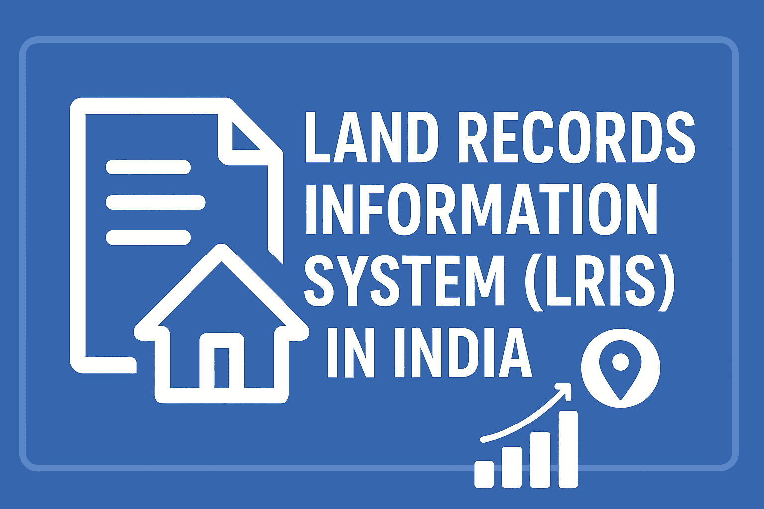
Land Records Information System in India | Features, Benefits & Online Access
Land has always been one of the most valuable assets in India. But managing land records has historically been complicated, riddled with corruption, tampering, and lack of transparency. Traditionally, land ownership data was maintained manually in registers by revenue officials (patwaris), making it vulnerable to manipulation and disputes. To address these challenges, the Government of India launched the Land Records Information System (LRIS) under the Digital India Land Records Modernization Programme (DILRMP). The objective: create a completely digital, transparent, and tamper-proof system of land governance.
Today, LRIS is transforming how citizens, banks, and governments manage property ownership records.
What is Land Records Information System in India?
The Land Records Information System (LRIS) is a centralized digital platform that stores and manages land ownership details, records of rights (RoR), crop details, tenancy data, maps, and property transactions.
It is being implemented across all Indian states and union territories under the DILRMP scheme, replacing the old manual records with computerized, easily accessible, and authenticated records.
Through LRIS, citizens can:
- Check Jamabandi (Record of Rights) online
- Download digitally signed land ownership certificates (Fard)
- Verify mutation status (after sale, gift, inheritance)
- Access Bhu Naksha (digital maps with khasra numbers)
- Apply for corrections and updates in records
- Track changes in ownership history
Objectives of the Land Records Information System in India
The LRIS initiative is guided by four major objectives:
- Transparency – Make all land records publicly accessible online.
- Efficiency – Simplify property transactions and land verification.
- Accountability – Reduce dependence on patwaris and minimize corruption.
- Security – Create tamper-proof, verified digital records with regular updates.
How the Land Records Information System Works
The LRIS functions in a stepwise digital workflow, ensuring accuracy and security:
- Digitization of Records
Old handwritten Jamabandis, Khataunis, and Khasra records are scanned, verified, and uploaded.
- Computerization of Registration (NGDRS)
Property registration data is linked directly with land records to avoid mismatch.
- Mutation Automation
Whenever property is sold or inherited, ownership is updated automatically within the LRIS.
- Integration with GIS Maps
Land parcels are mapped using Bhu Naksha, showing real-time cadastral boundaries.
- Online Citizen Access
Users can search by owner name, khasra number, khata number, or village details.
- Authentication
All documents are digitally signed with QR codes, ensuring authenticity.
Key Features of the LRIS Portal
- Record of Rights (RoR/Jamabandi): Provides details of ownership, tenancy, cultivation, and revenue liabilities.
- Mutation Services: Tracks ownership change after sale, partition, inheritance.
- Fard Certificates: Downloadable land record extracts, digitally verified.
- Bhu Naksha Integration: GIS-based land mapping with khasra details.
- 24×7 Online Availability: Access anywhere, anytime, without visiting offices.
- Multilingual Portals: Available in Hindi, English, and regional languages.
- Dispute Alerts: Subscription services in some states notify landowners of changes.
Benefits of Land Records Information System
✅ For Citizens
- Easy access to records without bribes.
- Secure ownership proof for bank loans and disputes.
- Time-saving – no need to visit tehsil offices repeatedly.
- Transparent record corrections and updates.
✅ For Government
- Simplified tax and revenue collection.
- Reduced disputes and litigation.
- Better planning of land use and infrastructure.
- Integrated land database for governance and welfare schemes.
✅ For Banks & Businesses
- Quick verification of collateral for loans.
- Reduced fraud in property transactions.
- Simplified land acquisition for projects.
LRIS vs Traditional Land Records System
| Feature | Traditional System | LRIS (Digital) |
| Record Storage | Paper registers with Patwari | Cloud-based digital system |
| Access | Manual, only at Tehsil office | Online 24/7, anywhere |
| Transparency | Prone to corruption and manipulation | QR-verified and tamper-proof |
| Mutation | Delayed, manual | Automated and time-bound |
| Maps | Paper maps, often outdated | Digital cadastral maps (Bhu Naksha) |
Land Records Information System (LRIS) in Different Indian States
Different states have their own LRIS portals, such as:
- Uttar Pradesh: Bhulekh UP
- Punjab: Easy Jamabandi
- Haryana: Jamabandi Haryana
- Telangana: Dharani Portal
- Madhya Pradesh: MP Bhulekh
- Bihar: Bihar Bhumi Portal
- Odisha: Bhulekh Odisha
- Maharashtra: Mahabhulekh
Each follows the LRIS framework but is customized for state requirements.
Conclusion
The Land Records Information System (LRIS) is a game-changer for India’s land governance. By putting land records online, it ensures transparency, accessibility, and security for citizens while helping the government reduce corruption and disputes.
As LRIS expands nationwide with blockchain and GIS integration, India is moving closer to a future where land ownership is digital, transparent, and corruption-free.
FAQs on LRIS
LRIS is the Land Records Information System, a digital platform to provide transparent, tamper-proof land records.
Yes, LRIS is part of the Digital India Land Records Modernization Programme (DILRMP).
Visit your state LRIS portal, select district/tehsil/village, and search by khasra number, khata number, or owner name.
Yes, most portals allow downloading digitally signed records with QR codes.
Yes, farmers can easily verify ownership, get loans, and protect themselves from fraud.
Mutation is the process of updating ownership after sale, inheritance, or gift of land.
Yes, digitally signed records from LRIS are legally valid and accepted in courts.
Yes, NRIs can check and download their land records from abroad using LRIS portals.
Bhulekh is the state-specific implementation (e.g., Bhulekh UP), while LRIS is the broader national framework.
Yes, tamper-proof digital records and QR verification reduce manipulation.
Yes, most services are free, though some states may charge for certified copies.
Yes, LRIS integrates cadastral maps through Bhu Naksha.
Patwaris still update records, but LRIS ensures transparency and accountability.
Yes, certified LRIS records serve as strong legal evidence in property disputes.
Most states have completed 80–90% digitization; full coverage is expected in the next 2–3 years.
Read Also:-J&K Land Records Information System- Check J&K Jamabandi Records
Read Also: Jammu & Kashmir Department of Revenue: Roles & Services Explained
Read Also: Bhunaksha J&K: View Jammu & Kashmir Land Maps Online
Explore Categories: